Camino stages to Fisterra, walked one day at a time
A stage by stage look at the Camino from Santiago to Negreira, Olveiroa, Cee, Fisterra and Muxia, with waymarking, albergues and Atlantic weather.
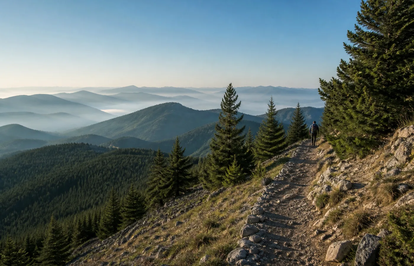
The Camino de Fisterra and Muxia runs from Santiago de Compostela through Negreira, Olveiroa, Cee, Fisterra and Muxia, usually in four or five walking days. The route is marked with yellow arrows and mojones, and the credencial stamps collected along the way lead to the Fisterrana certificate at the end. Weather off the Atlantic decides how a day actually feels, so the stages are short enough to leave room for it.
What stages does the Camino de Fisterra and Muxia have from Santiago?
The route is normally split into four stages, and some walkers stretch it to five by stopping between Cee and Fisterra.
Santiago to Negreira is about 21 kilometres. Negreira to Olveiroa is about 33 kilometres, the longest of the route. Olveiroa to Cee is about 19 kilometres, and Cee to Fisterra is about 13. From Fisterra, Muxia is a further 28 kilometres or so, often walked as its own day.
A description of the Camino stages to Fisterra treats the route as a sequence of walking days rather than a single line on a map, which is how most people end up planning it. The distances are modest by the standards of the Camino Frances, but the terrain is not flat and the coastal weather can add an hour to any of them.
There is no single official division. Albergues, bus connections and the position of the next village all influence where a walker stops, and the stages above are a common shape rather than a rule.
How do you get from Santiago to Negreira, and what is on that first stage?
The first stage leaves Santiago from the area near the train station and crosses the city’s western edge before reaching open country. It is not a beautiful exit. There are roads, roundabouts and industrial edges for the first hour, and then the route settles into eucalyptus and pine, small hamlets and a long, gentle climb.
Negreira is a town of a few thousand people with a supermarket, a pharmacy, a health centre and several albergues, both municipal and private. It is the first place on the route where a walker can buy proper food and sort out anything forgotten in Santiago.
The walking itself is around 21 kilometres with a few short climbs and no serious difficulty. Water points are limited in the middle section, so it is worth carrying more than seems necessary. In summer the shade is patchy. In winter the same stretch can be muddy and the streams run higher.
Most people arrive in Negreira in the early afternoon. The town is small enough to walk end to end in twenty minutes, and quiet enough that the evening is mostly about eating and sleeping.
What services and albergues are there in Olveiroa to spend the night?
Olveiroa is a small village of stone houses and hórreos, the raised granaries that stand on pillars beside the road. It exists for walkers more than for anything else, and its services are correspondingly narrow.
There is a municipal albergue with a good number of beds, a private albergue, and at least one casa rural and a small hotel in the surrounding hamlets. There are two or three places to eat, a small shop with limited hours, and no pharmacy or bank. Cash matters here.
The stage from Negreira to Olveiroa is the long one, around 33 kilometres, and it crosses a stretch of open country with few villages. Walkers who find that too much sometimes stop at Santa Marina or Ponte Maceira instead, or take a taxi for part of it. Olveiroa is the usual target because it puts the next day within reach of the coast.
Beds in the municipal albergue are first come, first served, and in July and August the village can fill by mid afternoon. In the shoulder months there is usually space without booking. The private options take reservations and are worth considering if the day has been wet.
How does the Atlantic weather shape a day on this route?
This is the part of the Camino that behaves least like the rest of it. From Olveiroa onward the route enters the Costa da Morte, and the weather becomes a daily variable rather than background information.
Rain arrives in bands off the ocean and can pass in twenty minutes or settle for two days. Wind is constant near the coast and stronger on the exposed stretches between Cee and Fisterra. Fog, called niebla locally, can erase the horizon entirely and make the yellow arrows the only reliable guide. Meteogalicia, the Galician meteorological service, and AEMET both publish forecasts that walkers check the night before, though coastal forecasts are approximate at best.
What this means in practice is that a stage planned at 20 kilometres may take six hours or nine. It means a rain jacket stays accessible rather than packed, and that shoes are dried whenever there is a radiator or a sunny wall. It also means the route is walked differently in different months: April and October are wet and quiet, July and August are drier and busier, and the light in late autumn is the reason some people come at all.
Where does the route end, and what changes at the coast?
Cee is the first town on the coast proper, with banks, shops and a full range of services. From there the route follows the shoreline to Corcubión and then climbs to Fisterra, where the lighthouse marks what many walkers treat as the end of the road.
Fisterra has albergues, hotels, restaurants and a bus connection back to Santiago. The Fisterrana certificate is issued here, at the town’s municipal albergue, to walkers who have collected the required stamps and walked at least the last 100 kilometres, or who have arrived by bicycle over the last 200. The credencial, stamped along the way, is what makes that possible.
Muxia is a separate destination, reached by a further day of walking north along the coast. It has its own certificate, the Muxiana, and its own character: smaller, quieter, and oriented around the sanctuary of A Nosa Señora da Barca. Some walkers go to Fisterra and stop. Others continue to Muxia, or walk to Muxia first and finish at Fisterra.
The route does not end with a ceremony. It ends with a bus timetable, a stamp in a booklet, and a decision about whether to walk another day.
What should a walker carry on these stages?
The packing list is shorter than on longer Caminos because the stages are short and the villages, while sparse, are not remote. A rain jacket, a warm layer, sun protection and a water bottle cover most of it.
Cash is more useful than a card in Olveiroa and in the smaller hamlets. A headlamp helps on dark mornings and in albergue dormitories. Earplugs are not optional if the dormitory is full.
The credencial should be carried from Santiago, not collected later, because the stamps are part of the record. The Fisterrana is issued on the basis of that record, and the office in Fisterra will check it.
Above all, the route rewards a loose plan. The distances are known, the waymarking is good, and the weather is not. A walker who leaves room for a slow morning, a closed café or an unexpected hour of sun will find the stages easier than one who does not.
Check current conditions
This article provides a planning method, not live route or weather information. Before leaving, consult current local guidance and an official forecast.